CCAP worked with partners in the Okanagan to deliver projects that equip producers to adapt to climate change.
Many projects flow from the 2016 Okanagan Adaptation Strategies plan that outlines:
- 4 climate issues of top concern to producers
- 14 strategies for responding to the issues
The regional adaptation plan was developed over 12 months.
Climate projections and top issues
This section highlights a subset of climate projections important to agriculture in the Okanagan. The projections are for the 2050s and also help illustrate climate change trends.
Temperature
- 2.1°C to 4.4°C increase in annual average temperatures
- Average of 47 more frost free days annually (North Okanagan)
- Average of 49 more frost free days annually (Central Okanagan and Okanagan Similkameen)
Precipitation
- 11% increase in average spring precipitation (+3% to +22%)
- 14% decrease in average summer precipitation (-41% to +2%)
- 25% decrease in precipitation falling as snow (-31% to -21%)
Extremes
- Increase in frequency and magnitude of extreme rainfall events
- Increase in average number of days over 30°C annually
These projections, provided by the Pacific Climate Impacts Consortium, are in comparison to the baseline historical period of 1961-1990.
The full set of projections were shared during the regional planning process where producers discussed how the anticipated changes would likely affect their operations. Then they identified four climate issues as their top concerns.
1. Warmer & drier summer conditions
Warmer winter temperatures will lead to a decrease in snowpack and earlier peak stream flows in this region. Okanagan summers are also becoming warmer and drier.
In the summer of 2015, the Okanagan experienced a Level 4 drought — the most extreme level. It also experienced droughts during the summers of 2009 and 2003. The 2003 drought was so severe that the District of Summerland declared a state of emergency.
Surface water makes up two-thirds of the Okanagan Basin’s total water supply and provides water for 75% of the irrigated agricultural land in the region. Surface water is particularly vulnerable to impacts from prolonged drought.
2. Changes to pest populations
Climate change may result in an increase in the number and distribution of existing problem species while enabling new species to become established in the Okanagan region.
Spotted wing drosophila (SWD) is an example of a new insect pest that was first found in the Okanagan 2009. It can affect berries, cherries and soft fruits. Due to mild winter and warm spring conditions, SWD was particularly problematic during the summer of 2015.
During the 2016 planning workshops, producers identified other emerging insect pests — including brown marmorated stink bug — of concern in the Okanagan.
3. Increase in extreme precipitation
Extreme precipitation events can damage riparian areas through bank erosion and silting. They can also cause a loss of productive agricultural lands near riparian corridors.
Warmer winter temperatures projected for the region will also cause more rapid snowmelt and earlier peak stream flows. This may create excess runoff, which can be made worse by upland activities. In turn, this can cause erosion and, in extreme cases, debris flows, washouts and landslides
4. Increasing wildfire risk
Wildfires, and wildfire-related evacuations, happen regularly in the Okanagan region. This is due largely to the arid climate and extensive development on the wildland-urban interface. However, more recently, the region has experienced multiple severe fire years, including in 2009, 2014 and 2015.
The 2003 Okanagan Mountain Park fire resulted in large-scale evacuations and the loss of over 200 homes. The fire also destroyed the St. Hubertus winery, and many other wineries in the region lost their crops due to smoke taint.
In 2015, wildfires led to multiple evacuations and evacuation alerts for agricultural operations in the Oliver area.
Projects
Many of these projects are a direct response to the adaptation strategies and top issues outlined in the Okanagan Adaptation Strategies plan. The projects are developed by CCAP with oversight and input from a regional working group.
Other projects deliver applied research that supports climate change adaptation at the farm level. These 2-4 year projects fall under the Farm Adaptation Innovator Program.

Regional climate and production systems
Historical climate and production capacity
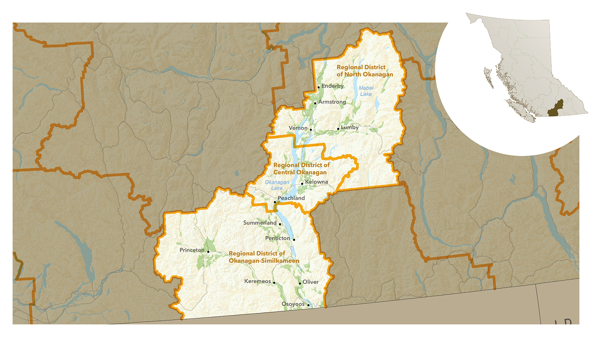
This region includes:
- Regional District of Central Okanagan
- Regional District of Okanagan-Similkameen
- Regional District of North Okanagan
The Okanagan region has a warm growing season and relatively mild winters and springs that have long frost-free periods. The Okanagan’s hot, sunny, dry climate is classified as semi-arid, with the lowest average annual precipitation in southern Canada.
The southern Okanagan is drier and hotter than further north, where the growing season is slightly shorter. Temperatures are also warmer in the Okanagan’s valley bottoms than at higher elevations.
Annual precipitation varies across the Okanagan region. The drier, southern part of the region sees an average of 250 millimetres per year, while the northern part and higher elevations see an average of 400 millimetres per year. Lack of precipitation during the growing seasons means that irrigation is needed for most production in the region.
Soil types and agricultural capability vary across the region and by elevation. Most agricultural land is near Okanagan Lake and its tributaries. Parts of the Agricultural Land Reserve are north of Okanagan Lake and around Princeton.
There are large differences in soil type in the Okanagan. The southern part of the region has deep sandy soils, and the area around Kelowna has mainly clay and gravel soils. Unimproved soils are Class 4 or 5 due to dryness and topography, but soils can be improved to Class 1, 2 or 3, depending on the severity of limitations.
Agricultural production
In 2016, this region was home to 19% of the farms in BC. Types of agricultural production vary across the Okanagan region. In the northern areas, forage, dairy and cattle ranching are common.
The central and south Okanagan produce most of BC’s tree fruit and wine grapes, and this area is one of the largest producers of these commodities in Canada. Sweet cherry production grew significantly in the region from 2006-2016.
Thirty-nine percent of the province’s certified organic farms are located across the region. The Okanagan region also has beekeeping, greenhouse and nursery production, vegetable and melon farming and sheep/lamb production. Many of these production types have increased since 2006.
For a complete regional overview, read the plan: